Budapest, Hungary
Hungary lies in Central Europe in the Carpathian Basin. The greatest distance from north to south is 268 km, from east to west 528 km.
50% of the country's territory is flatland: the Alföld (Great Plain) that occupies the entire eastern half of the country and the Kisalföld (Small Plain) along the north-western border.
The two most important rivers, the Danube (Hungarian stretch: 417 km) and the Tisza (598 km) flow across the country from north to south. The region between the Danube and Tisza is flat, while the region lying to the west of the Danube, Transdanubia is rolling hilly country with Central Europe's warmest lake, the Balaton at its centre.
A range of mountains stretches diagonally right across the country. To the west of the Danube, the Transdanubian Range is 400-700 metres high, divided into the Keszthely Hills, the Bakony, Vértes, Gerecse, Pilis and Visegrád mountains.
To the east of the Danube, the Northern Range rises to heights of 500-1000 metres, divided into the Börzsöny, Cserhát, Mátra, Bükk, Cserehát and Zemplén mountains. The highest point is the Kékes (1,014 m) in the Mátra.
The Hungarian "puszta" is a favourite tourist destination where the once characteristic animals and ethnographic traditions can be seen in the Hortobágy National Park (Hortobágy) and in the Kiskunság National Park (Bugac, Apajpuszta, Lajosmizse) on the occasion of horse shows.
Short History of Budapest
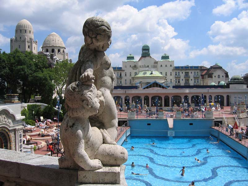
Budapest, the capital of Hungary, locates in the centre of Middle Europe, on both sides of the river Danube. The dominant role of the capital shows, that about 2 million people, every fifth Hungarian lives in the city. The Danube determines the life of Budapest. Due to Danube valley, there are more than 130 thermal springs and more than twenty public baths to find in the city. The most popular of them are the Gellért and the Széchenyi Baths.
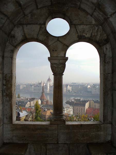
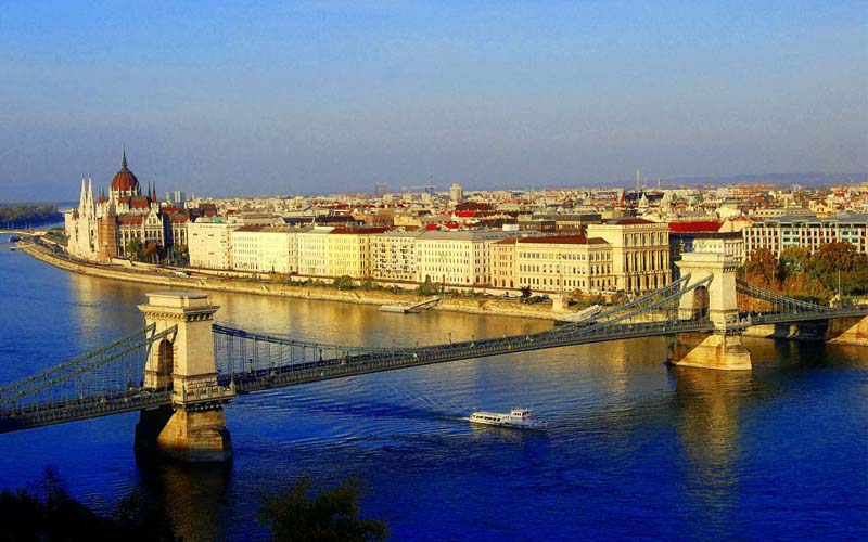
Budapest was created by the unification of the three cities of Buda, Óbuda and Pest in the year 1873. The green side, the Buda hills, the soft inclines of Óbuda on the left bank and the plain industrial Pest on the right diversify the city. Nowadays seven bridges secure the connection between the two halves of the city. Three of them, Liberty Bridge, Margaret Bridge and Chain bridge, can still be admired in their original beauty.
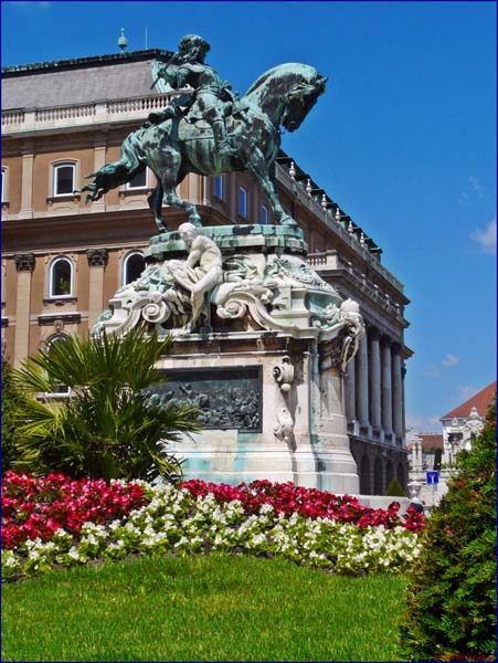
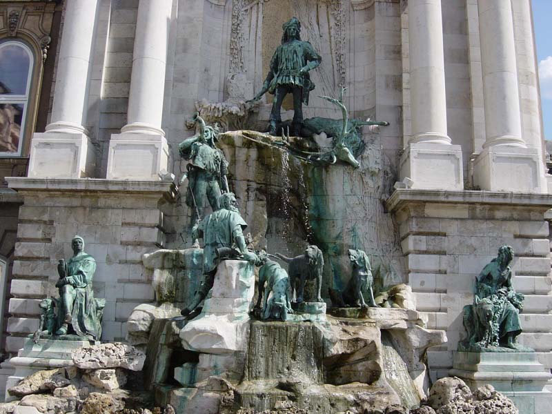
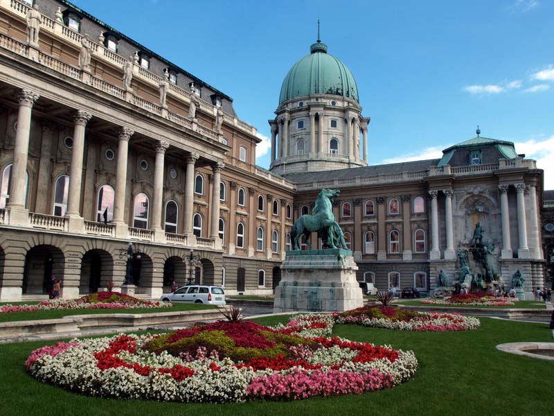
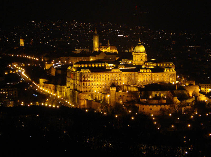
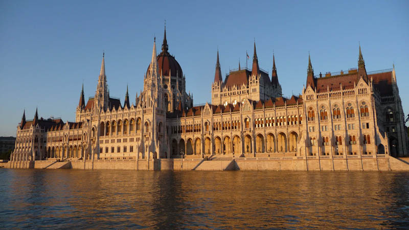
The Gellért Hill with the Citadel and the Royal Castle with its castle district define the view of Buda. In this district you will find the extremely rich collection of the Hungarian National Gallery and the National Széchenyi Library. On the Pest side the neo-Gothic building of Parliament raises. The view of Pest is dominated by the dynamic economic and social marks of the development of large middle class housing units throughout the 19th century. The economic boom after the recent political changes has given a powerful boost to the city. Our capital renews day to day and transforms itself into a true “world city”. The various and rich history and the dynamic cultural, culinary and economical life amazing the visitors, during they discover the “Pearl of the Danube”.
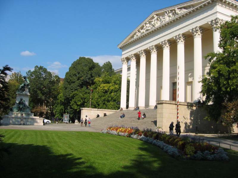
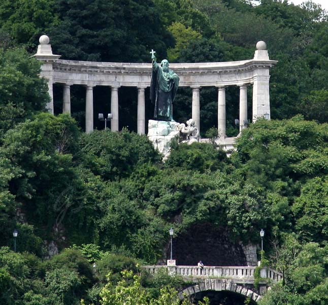
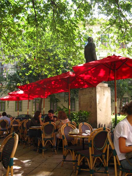
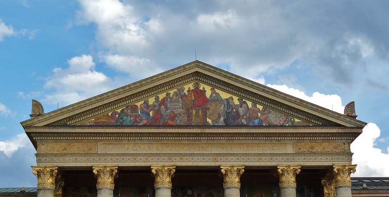
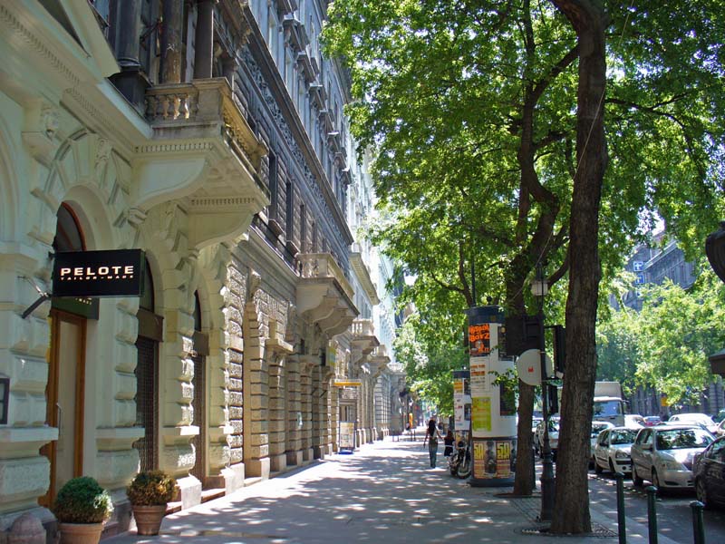
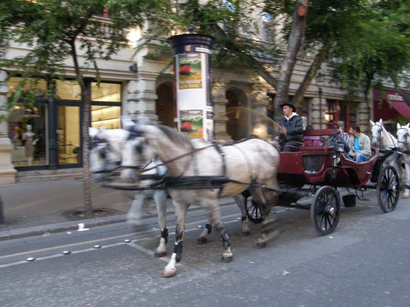
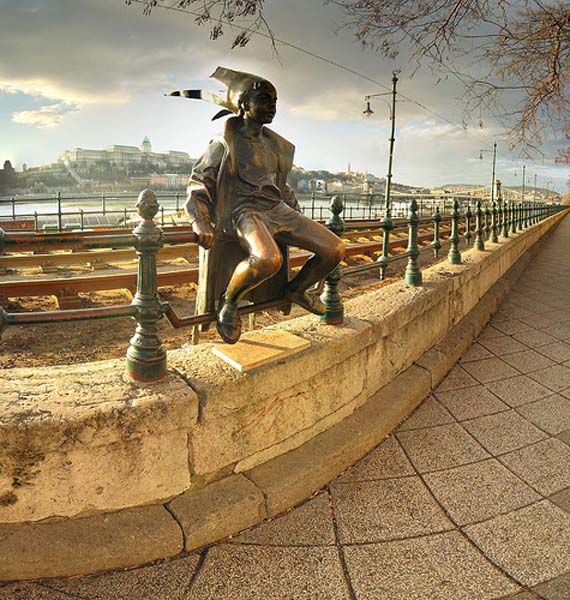
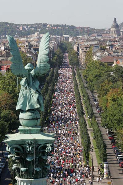
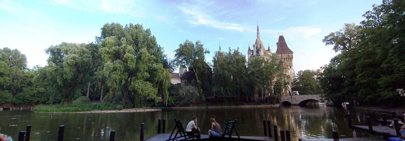
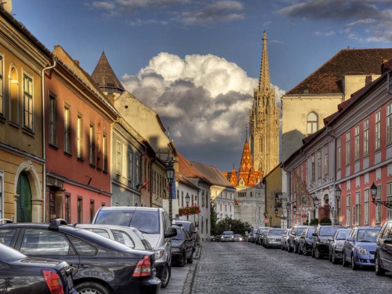
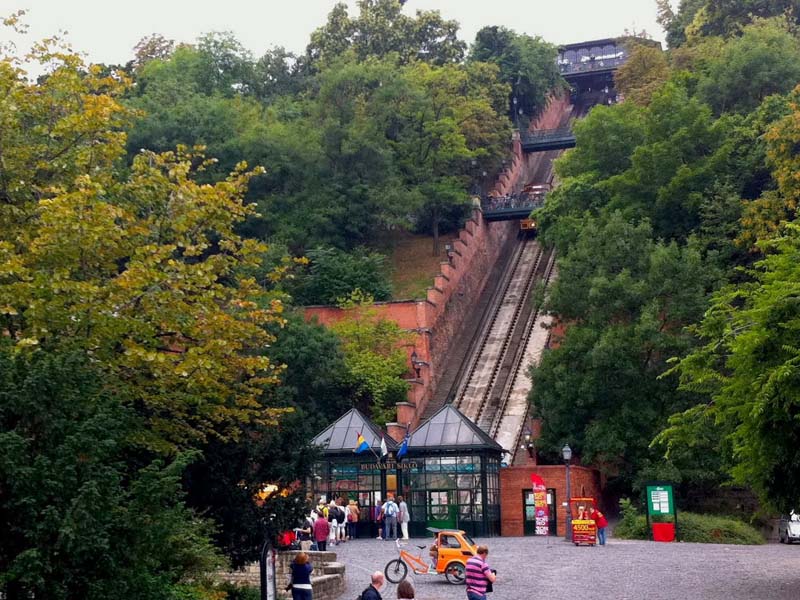
Photo gallery